Colonel Manko clarifies publication of maps: could it have compromised Ukrainian security?
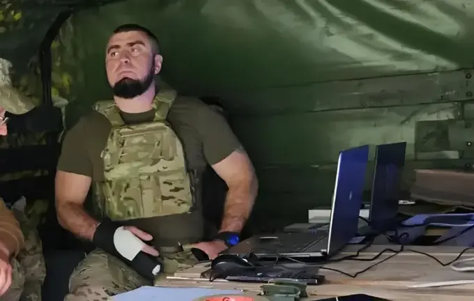
Colonel Valentyn Manko, head of assault units of the Ukrainian Armed Forces, issued an official statement regarding the dissemination of map images on social media, which sparked widespread concern and debate about potential risks to national security.
He explained that the published maps do not contain any classified or confidential information labeled as “secret” or “for official use.” Therefore, their disclosure does not pose a threat to the Ukrainian military.
According to Manko, the images are ordinary Google Maps screenshots with his own markings, illustrating front-line locations and situations.
“It’s a standard map, customized for my needs.
Russians are trying to hoodwink Putin, but I believe our information remains entirely secure.
They invade settlements, raise flags, and are quickly defeated within 10-30 minutes,” he said.
Some military personnel and experts voiced concerns that such information could be exploited by Russian forces for combat operations.
An OSINT analysis by the “CyberFlour” project revealed minor discrepancies between the map posted by Manko and the original Google Maps images, particularly in the Verbyovo-Berezovo area near Zaporizhzhia and Dnipropetrovsk regions, with deviations up to nine kilometers.
Ongoing efforts aim to prevent information leaks and identify traitors within defense structures, including the detention of a GRU agent in the State Special Communications Service of the Ministry of Defense.
Meanwhile, Russia continues its military strikes, with recent ballistic missile attacks targeting Ukraine’s military training facilities, illustrating the ongoing complexity and danger of the ongoing conflict.